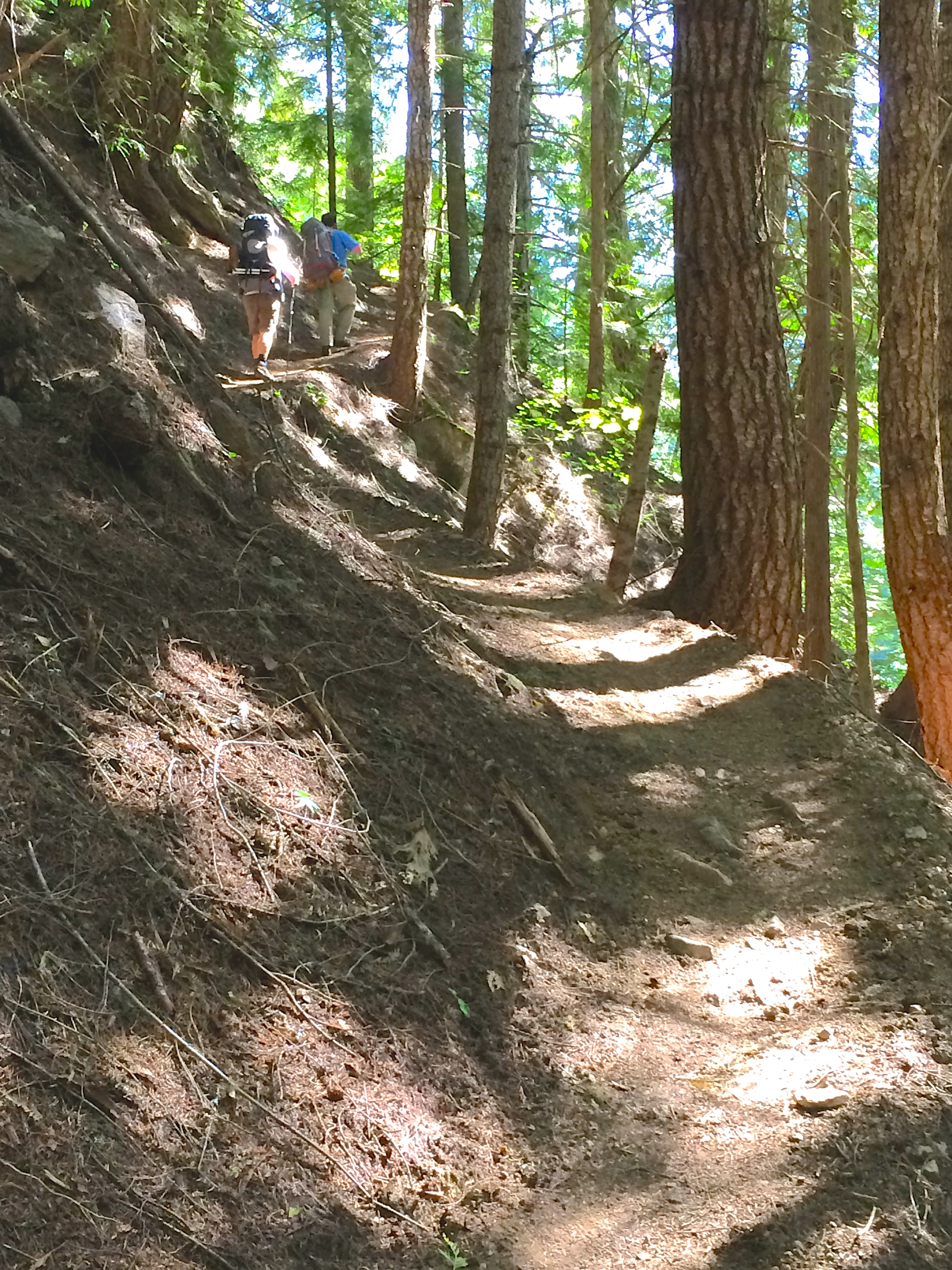
I talk with a lot of folks that are new to hiking and know that I love to hike. Because of this, I get a bunch of questions that some hikers categorize in the group, "everyone knows that." Not true!
Recently someone asked me about the elevation gaining information given on most trail descriptions. Of course they understand the basics. Elevation gained means it will most likely be uphill one way and downhill the other. Their question was coming from not having enough experience to know how STEEP the hike will be based on the figures given for elevation.
My method for understanding the steepness, has always been by using the standard of 1,000 feet per mile. If a trail is one mile and gains 1,000 feet, for example, I would conclude that the trail is steadily uphill with basically no real level sections. A great example of this is the Mount Dickerman trail on the Mountain Loop Highway out of Granite Falls. If you clicked the link and scrolled down to it, you would see that Mount Dickerman is 8 miles roundtrip and 4,000 feet gained; four miles up, four miles down. This trail does not have any level sections, but I would not say it is the steepest of hikes, just very steady.
Using this to gauge other trails, will give a hiker quick references on the steepness of the trail they are scouting. Lake 22 is listed at 5.5 miles roundtrip and 1,350 feet gained in elevation. Always split the miles in half if they are listed as roundtrip and then figure out how many feet per mile. Lake 22 is then about two and three-quarter miles one way. Factoring in the 1,350 feet, it is far under the standard given above.
Another thing to factor into the steepness of a hiking trail, could be any amount of feet gained in the opposite direction. Majority of hikes are assumed to be uphill first, and then downhill back. Some are the opposite or a mixed variety of the two and those are usually described with a reference after the feet gained: Like Blue Lake here.
My last answer to this question, is regarding percent of grade. Some trails might say..."you climb switchbacks at 8% grade, to a...". OK, most hikes will fall between five and ten percent, but some climbers routes can get above 15 to 20 percent. At some point it just isn't really considered a true hike any longer, I suppose. Here is a graph that will show you in more depth: http://venturacountytrails.org/TrailMaps/TrailSymbols.htm
Hopefully this helped give some reference to those that needed help understanding this better. Have fun on the trail!
Do you use a different method? Leave a comment and explain....

BY: Rudy Giecek


