Use these icons: Email us, Facebook Page, Instagram, Twitter, iTunes for podcasts, and our Youtube channel
Yellow Aster Butte
Miles: 7.5 miles roundtrip
Elevation: 2,500 feet gained
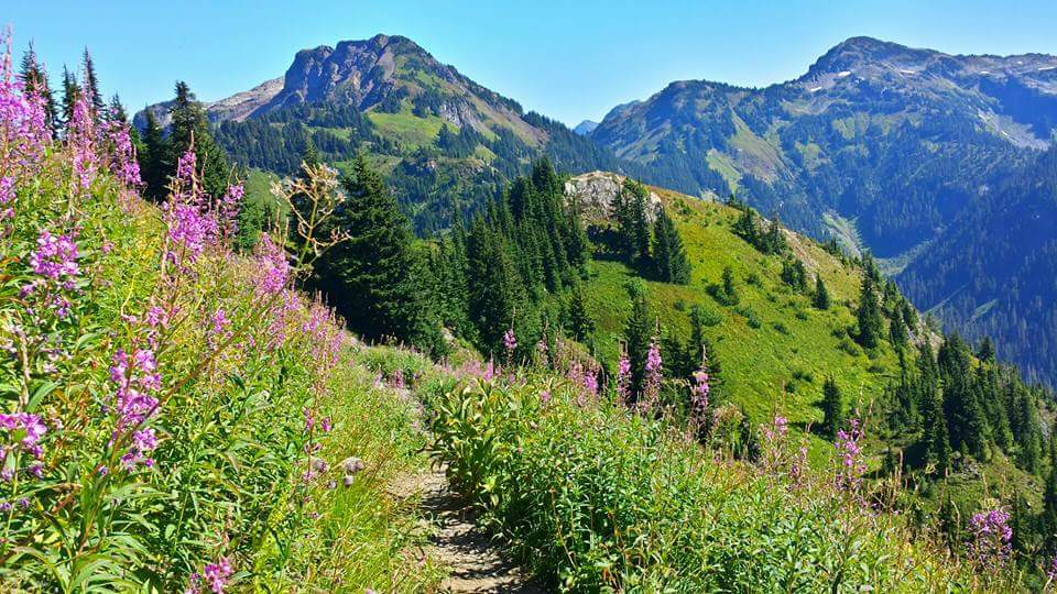
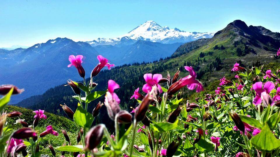
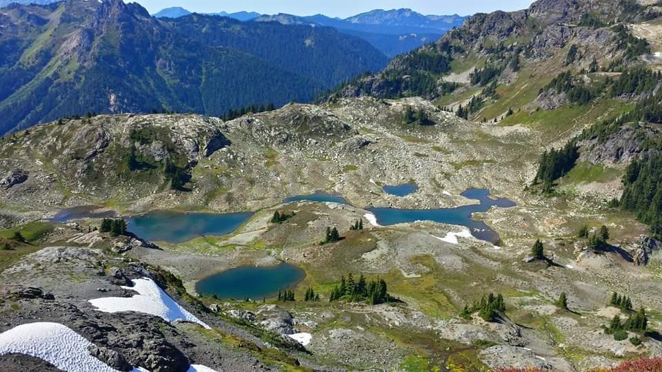

Start on switchbacks through an open old avalanche section and then enter the forest and continue up. Eventually reach a bench on the hillside with a meadow and a junction, at 1.5 miles from the parking lot. Stay left and eventually reach the junction to either go left a hundred yards to the meadows and camping, or go right .5 miles to the summit of Yellow Aster Butte.
- Get there: Going east on Mount Baker Highway (542) at about 12 miles past the town of Glacier, turn left onto Twin Lakes Road, or Forest Service Road 3065. The trailhead is about 4.5 miles up the road.