Reopening the Road to Circle Peak Trail?
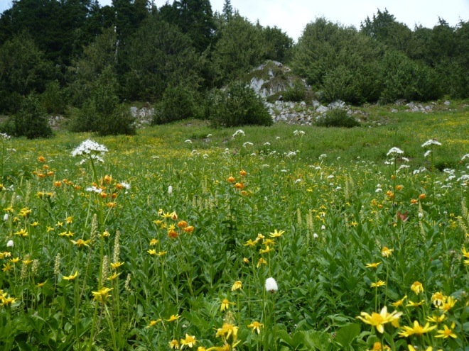
Circle Peak (5,983 feet) was a short but sweet summit trail in the Suiattle River area; with up close views of Glacier Peak. It has been inaccessible since floods in 2003 and 2006 rendered the Boundary Bridge over Suiattle River impassable. The Federal Highway Commission and emergency flood funds from the Forest Service helped to replaced the bridge for $1.1 Million and reopened it in 2010.
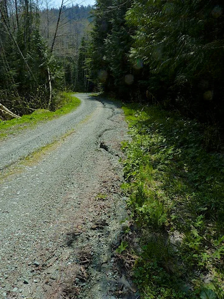
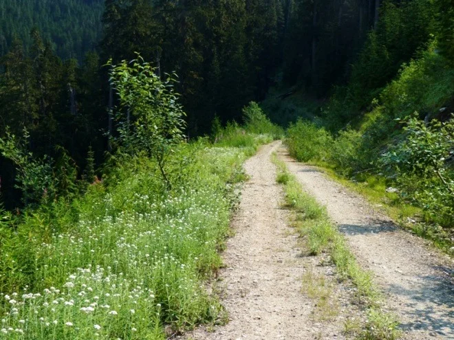
Unfortunately, Forest Service Road 2703, also known as Circle Creek Road, beyond Boundary Bridge, was in rough shape and no longer continues to the trailhead. There are still about five miles of Circle Creek Road to walk or bike in order to reach the original start. That is better than the 20 mile one way trip it once was before the roads made it more accessible.

From 1935-1967, a fire lookout at the top of this pointed summit. In the 1960's after the logging roads were finished infringing towards Circle Peak, the trail was only two miles one way.
The group putting effort behind reopening Circle Creek Road is the Darrington Area Resources Advocates (DARA). Their mission statement reads, "To increase awareness, use and understanding of the natural, historical, cultural and educational resources which abound in the vicinity of Darrington."

DARA has put a lot of research into this area and also into the project costs. I asked them what was next for the Circle Creek Road proposal and they replied, "The next step is to meet with the Forest Service to reach agreement on the scope of the work and how it will be authorized. The ball is in the Forest Services's court with regard to proposing dates for this meeting."

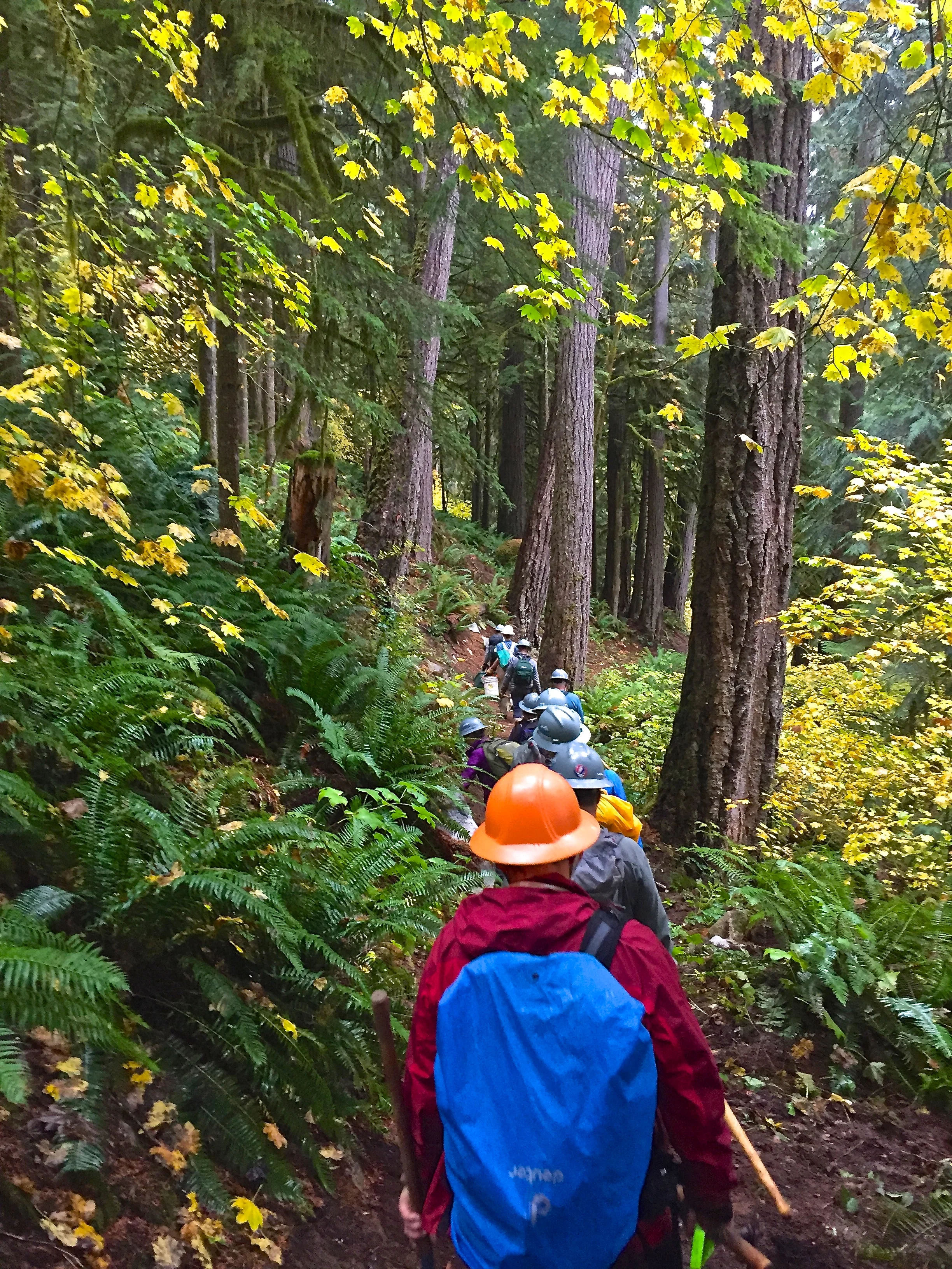
They also sent me a copy of the five page proposal, which is very detailed and does include some low injury risk volunteer work. They have estimated the project to cost only $30,000. In their proposal they list the services of River Resources Trust as the primary stratagem at finding the necessary funds.
For another write-up along this line see:
Pave the Mountain Loop
There is a longer route to Circle Peak from Crystal Lake and it is about 16 miles roundtrip. Also there is a trail called the Bull Bear Trail that was proposed by USFS great information by Kim Brown HERE on that trail. The Bull Bear Trail would be a 5.75 mile hike to access either Circle Peak or near by Crystal Lake.