Multiple Agencies Reviewing Proposal for Paving the Mountain Loop
The Pave the Loop group sent us an update. In October they submitted a Request for Public Proposal, including estimated costs and plans to administer their goal to get the Mountain Loop Highway fully paved.

Snohomish County, the Forest Service, and the Federal Highway Administration have now had two meeting discussing this Request for Public Proposal. Currently, Snohomish County and the Forest Service are working on a Feasibility Study that will appropriate funding to support the Mountain Loop's remaining gravel portion upkeep while they are considering this proposal.
Letters in support of the Feasibility Study have been written by Senator Maria Cantwell and Governor Jay Inslee. Pave the Mountain Loop group is also hoping to see support letters from State Senator Kirk Pearson and State Representative Elisabeth Scott to the Federal Highway Administration before the proposal is due on March 4th, 2016.
What it will Cost to Pave the Gravel Segment
Within the proposal: Federal Highway Administration would serve as the lead agency for the paving project and complete the environmental analysis, design and construction contract supervision. Up to 86.5% of the funding can be provided by the Federal Highway Adminstration for the project ($19 million), the remaining 13.5% ($3 million) must come from "matching" non-federal funds. cannot proceed to expend such funds until interest in the project segment has been vested with Snohomish County via an easement or Maintenance Agreement with US Forest Service (See http://www.wfl.fhwa.dot.gov/programs/flap/wa/ for details regarding the project application process and the roles of other agencies).
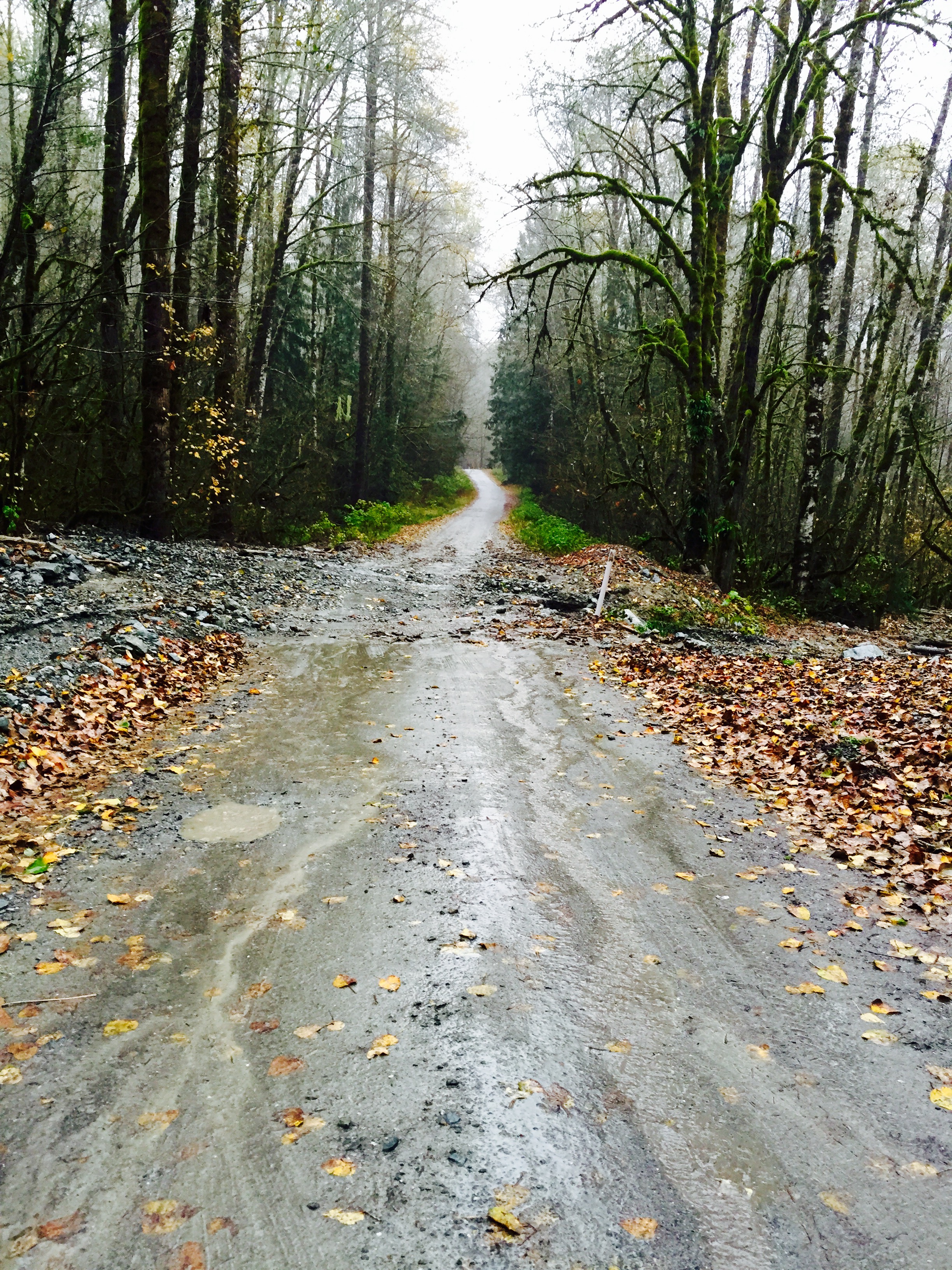
Road Design
Pave the Mountain Loop Group does not want a high speed highway. It is envisioned that a design similar to that used for the Middle Fork Snoqualmie Road (MFSR) or Suiattle River Road relocation would be used for this unpaved portion of the highway.
A designed speed of 35 mph was selected for the Middle Fork Snoqualmie Road when it was paved based on the existing speed limits in place, the existing use of the facility, and the overall projected future primary use of the roadway by recreational users. Areas of lower speed limit may be posted, and additional traffic calming measures may be placed in areas where additionalconcerns, such as limited sight distance or congestion, would warrant a lower speed.
"The MFSR will be a 20-foot paved roadway width with sections of 18-foot width used in constrained locations. Minor horizontal and vertical alignment adjustments would be made as needed to help promote a design that would improve safety and blend with the context of the valley. Rather than excessively alter the existing alignment, traffic control devices would be placed at some of the tighter curves to improve safety and warn motorists of roadway conditions. Retaining walls and shoulder stabilization may be used in areas where short walls or steeper slopes would help reduce impacts on either the fill side or cut side of the road. Potential placement of guardrails in these sections would be evaluated and used based on stabilization design” Taken from- http://www.wfl.fhwa.dot.gov/projects/wa/snoqualmie/documents/fonsi.pdf
Ultimately, Pave the Loop Group is aiming to:
- Provide an alternative route for emergencies between Darrington and Granite Falls
- Increase winter recreation opportunities to the area
- Produce significant economic benefits to communities along the whole highway
- Improve the air quality and recreation experiences
- Provide a unique loop drive