Use these icons: Email us, Facebook Page, Instagram, Twitter, iTunes for podcasts, and our Youtube channel
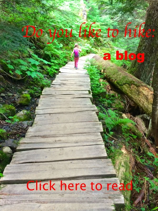
Copper Ridge Loop
Miles: 34 miles
Elevation: 8,500 feet gained
Mount Baker Highway 542
From the Hannegan Trailhead, the trail climbs gently but steadily through silver fir stands and avalanche clearings to Hannegan Pass. Views of Ruth Mountain dominate this area. From the pass, the trail descends quickly to the headwaters of the Chilliwack River and Boundary Camp, located just inside the national park boundary. Boundary Camp is in a subalpine area and fires are not permitted. Here the trail splits, with one fork heading up to Copper Ridge and the other continuing down the Chilliwack Valley.
The trail to Copper Ridge requires a steep climb from Boundary Camp. This trail passes through seven miles (11 km) of subalpine meadows with unobstructed views of the North Cascades mountains. Camping on the ridge is available at three designated sites: Silesia and Egg Lake to the west of the lookout, and Copper Lake to the east of the lookout. Composting toilets and food storage lockers are available at all three sites. After rising and falling along the ridge for many miles, the trail eventually makes a precipitous descent to the Chilliwack River valley (dropping 2400 feet in five miles -- 730 m in 8 km). Cross the braided channels of the Chilliwack River at this point via a series of fords--watch that you don't lose the trail! Indian Creek camp is close by in the valley.
You may notice a coarse netting material covering several areas around Egg and Copper Lakes, or stakes marking informal trails as closed. This is part of a revegetation effort on the ridge: material has been placed in areas severely damaged by overuse in the past, and is helping natural plant cover to return to these areas. It is very important that you do not walk on or otherwise disturb the covered areas. Stay on the main trails at all times. Campfires are not allowed anywhere on the ridge because of the extremely delicate nature of the plants and soils.
Below Boundary Camp the Chilliwack River Trail drops steadily through old growth forest 2.5 miles (4 km) to the Copper Creek camp, located on both sides of its namesake creek. U.S. Cabin hiker and stock camps are located another 2 miles (3 km) past Copper Creek. A mile beyond, the trail crosses the Chilliwack River. During late July and August the river is often less than knee deep, and can be forded. A cable car crossing is available for the use of hikers if the water is too high. Further down the Chilliwack River Trail are Indian Creek, Bear Creek, and Little Chilliwack camps, the latter being a mere mile (1.6 km) from the U.S.-Canadian border.
The trail up Brush Creek to Whatcom Pass is located 7 miles (11 km) from Boundary Camp, and is just east of the Chilliwack River crossing. Graybeal Camp is located 2 miles (3 km) up the valley, and Whatcom Camp is just before the pass. A composting toilet is available at Whatcom Camp. Views of Challenger Glacier and the Little Beaver valley are expansive. Black bears are frequently spotted in this area, a good reminder that proper food storage is essential here as elsewhere. From the pass, hikers can continue down into the valley and on to Ross Lake via the Little Beaver or Big Beaver drainages. There are a number of campsites along both routes. Detailed map HERE
This description was taken from: http://www.nps.gov/noca/planyourvisit/copper-ridge-trail.htm
- Get there: Going east on Mount Baker Highway (542) at about 12.5 miles past the town of Glacier and turn left onto road #32 (Hannegan Pass Road). The trailhead is about 5 miles at road's end.