Use these icons: Email us, Facebook Page, Instagram, Twitter, iTunes for podcasts, and our Youtube channel
Skyline Divide
Miles: 9 miles roundtrip
Elevation: 2,500 feet gained
Mount Baker Highway 542
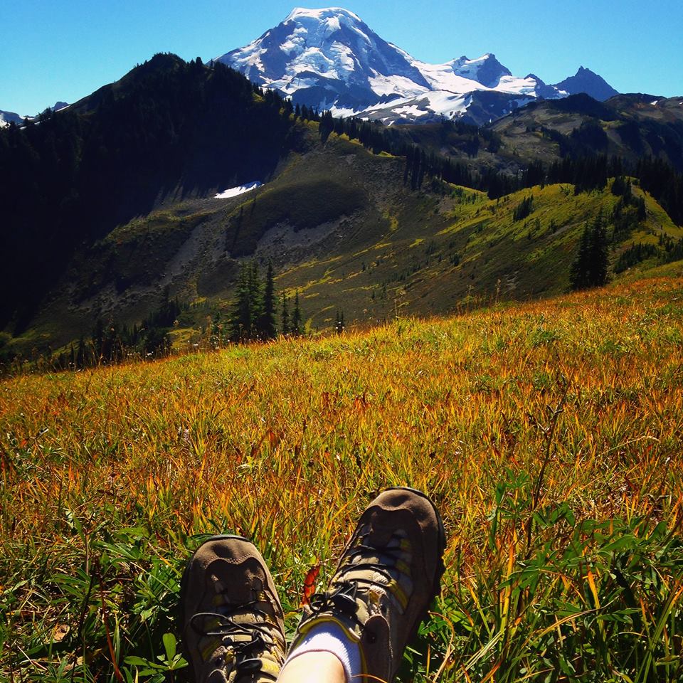

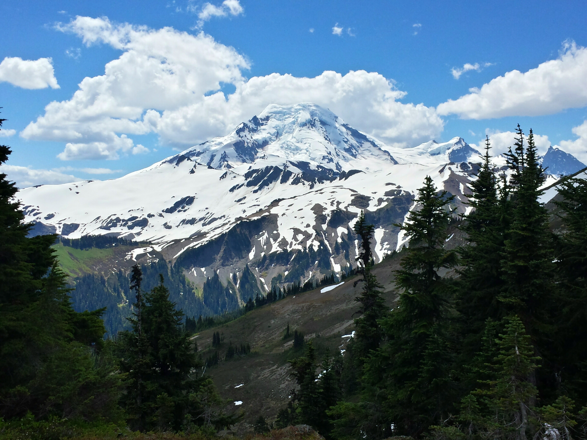
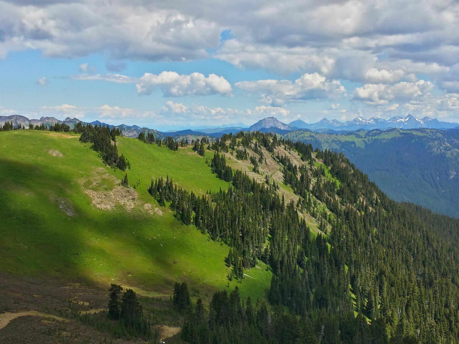
Climb for the first 2 miles through forest and enter Mount Baker Wilderness when the trail opens to meadows with views of Mount Baker above. The official trail continues up the ridge for another 1.5 miles and then you can choose a more rugged path on Chowder Ridge. This is on many top ten hiking trail lists, so you better add it to yours!
- Get there: Going east on Mount Baker Highway (542), turn right onto Forest Service Road 39, also called Glacier Creek Road. Take an immediate left onto Dead Horse Road, also called Forest Service Road 39, and follow it 12.5 miles to the parking lot at the trailhead.
Return to Mount Baker
area hikes: CLICK HERE
Cover photo by: Angela Strand from NW Healthy Mama link to her blog HERE
Other photos by: SHANNON MCDONALD