Use these icons: Email us, Facebook Page, Instagram, Twitter, iTunes for podcasts, and our Youtube channel
Lost Creek Ridge/Lake Byrne
DARRINGTON MOUNTAIN LOOP AREA
Miles: 11 roundtrip to ridge
24 roundtrip to Byrne
Elevation: 4,300 feet gained to ridge
6,500 feet gained to Byrne
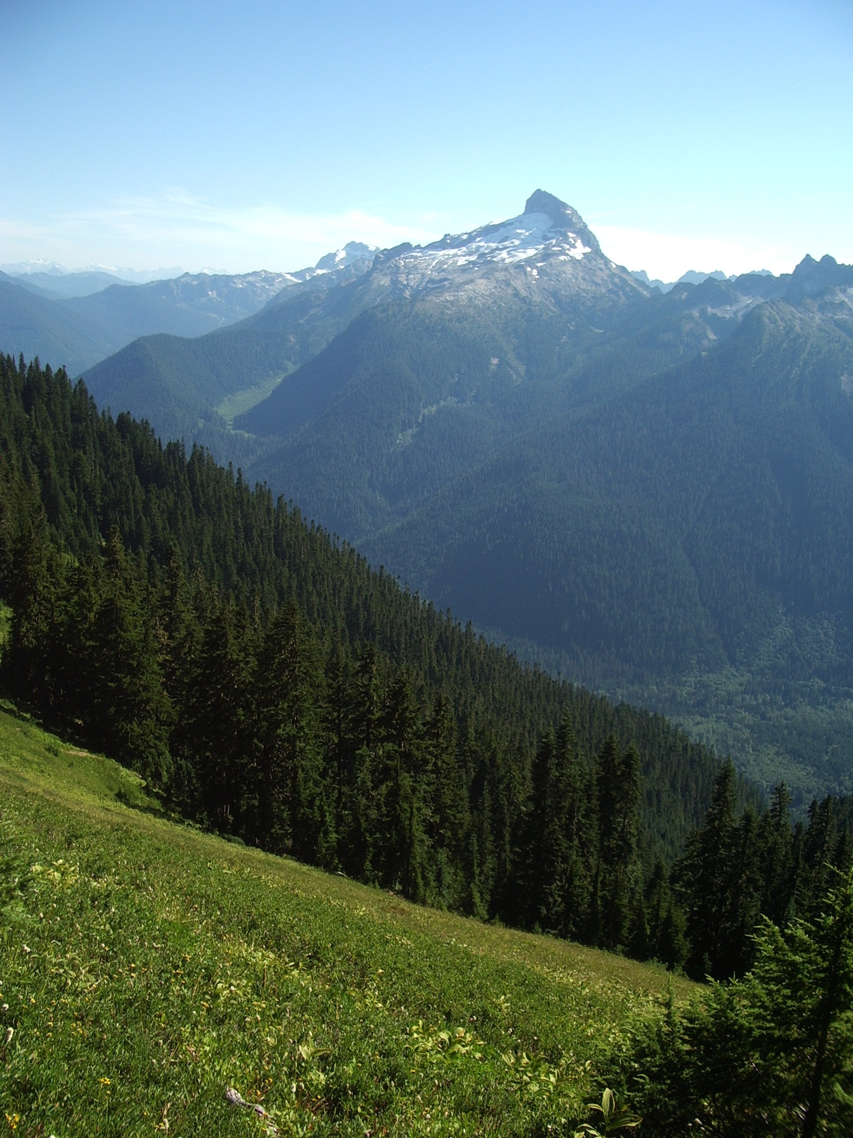
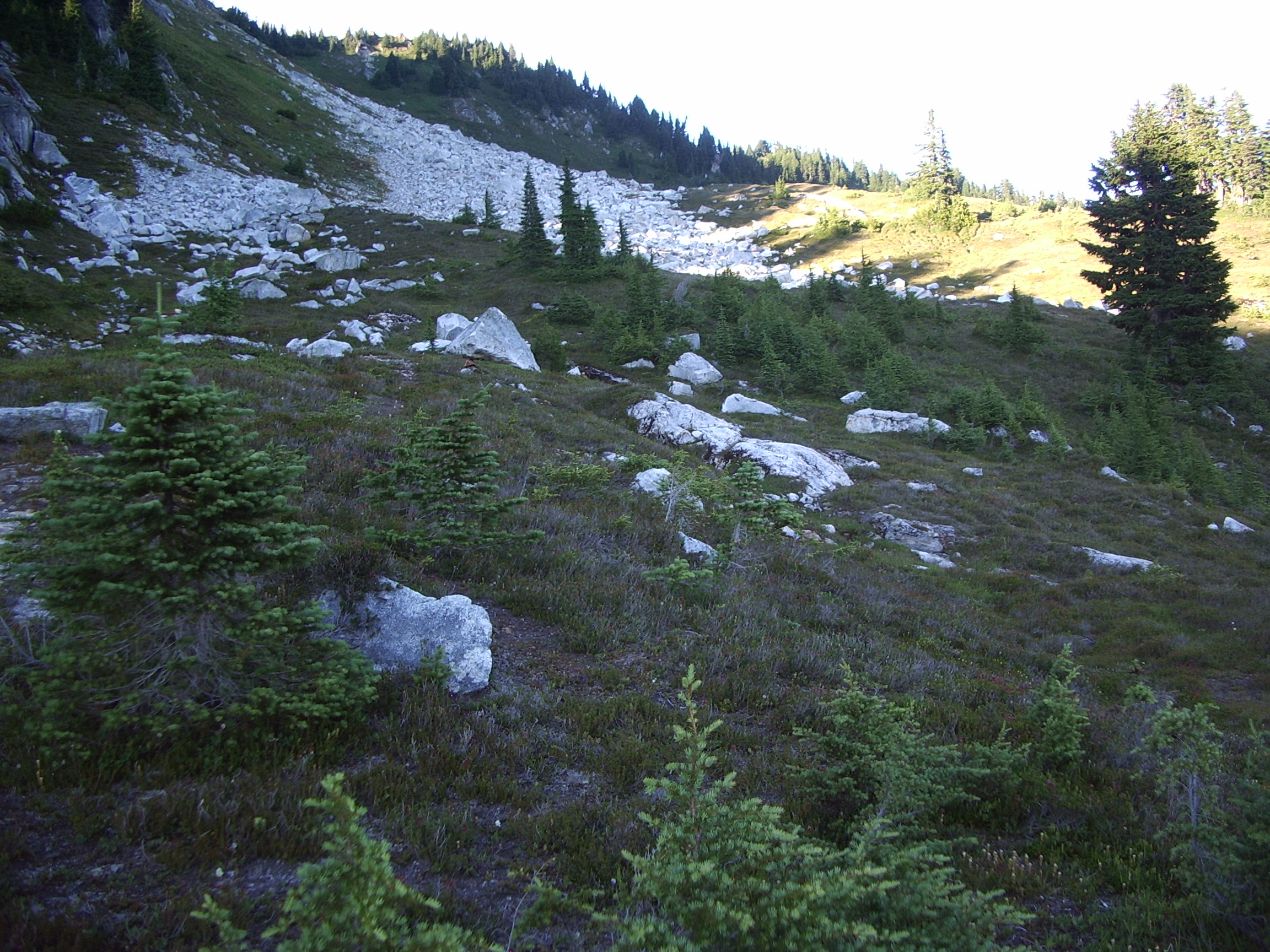
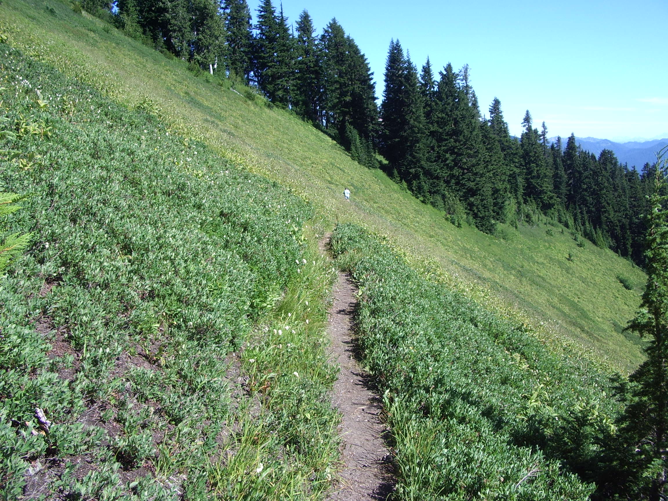
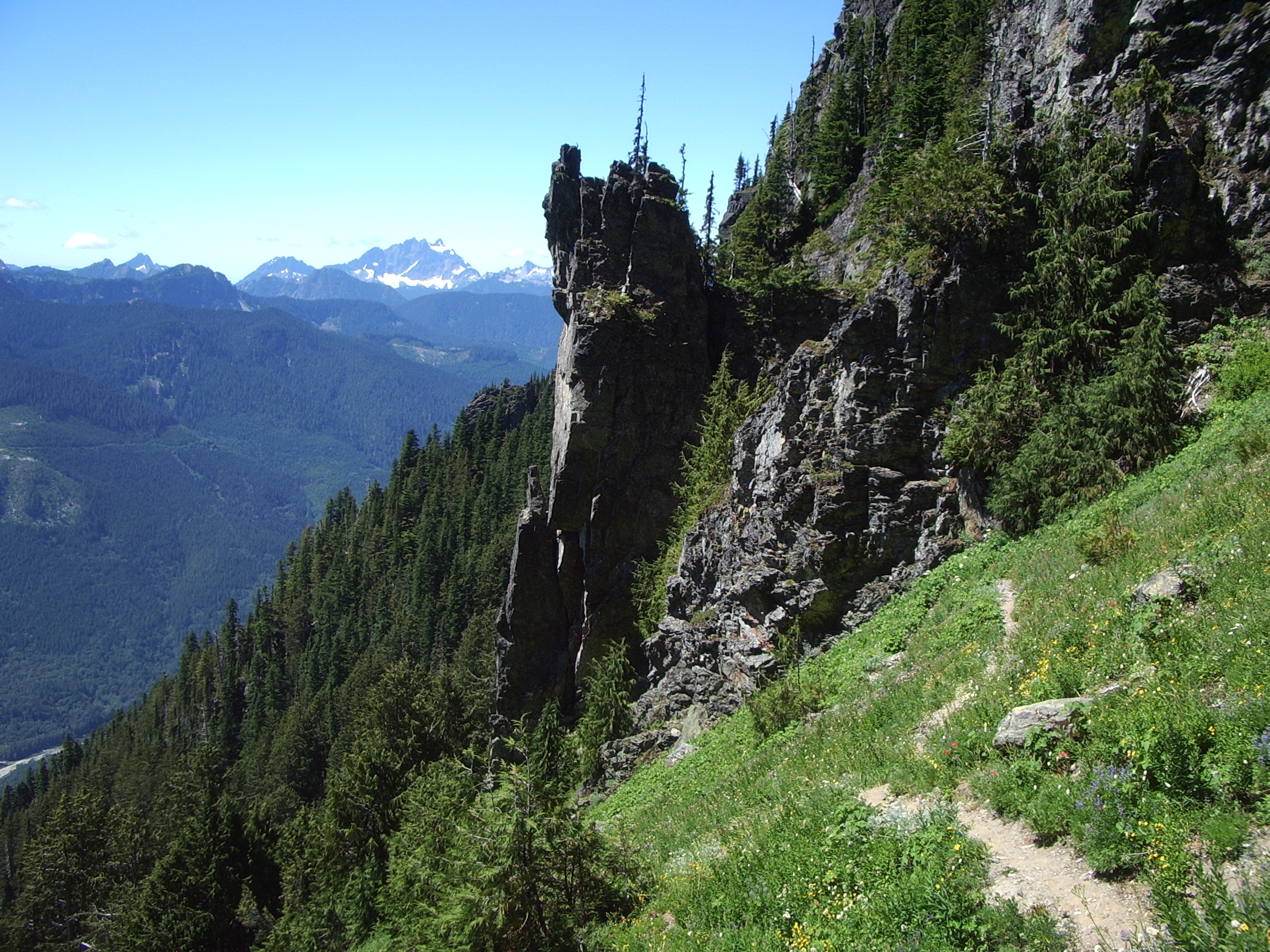
The first mile is easy going until it starts to steeply climb towards viewless Bingley Gap. Follow the path up the ridge and finally reach meadowy slopes with a great view of Sloan Peak. at this point it is now less than a mile to an overlook and access trail to Round Lake. It is a 500 foot drop to nice campsites here. Follow the main trail about a hundred yards to a view of Glacier Peak and a great turnaround spot for day hikers. If you choose to go on, take note that the next 6.5 miles is not a maintained trail, and some of it was never a built trail to begin with. This means, some portions can seem unplanned or not well thought out. Camp Lake is just before Lake Byrne, and either lake has great campsites. An old trail used to drop steeply to Kennedy Hot Springs, but the hot spring is no longer there after there White Chuck river changed its course directly over it.
- Get there: Follow Highway 530 to the major four-way stop at the gas station in downtown Darrington. Turn right and continue 16 miles until turning left onto FS rd 49. The trailhead is on the left at about 3 miles.