Use these icons: Email us, Facebook Page, Instagram, Twitter, iTunes for podcasts, and our Youtube channel
Image Lake
Suiattle River Road Area
Miles: 31 miles roundtrip
Elevation: 4,500 feet gained
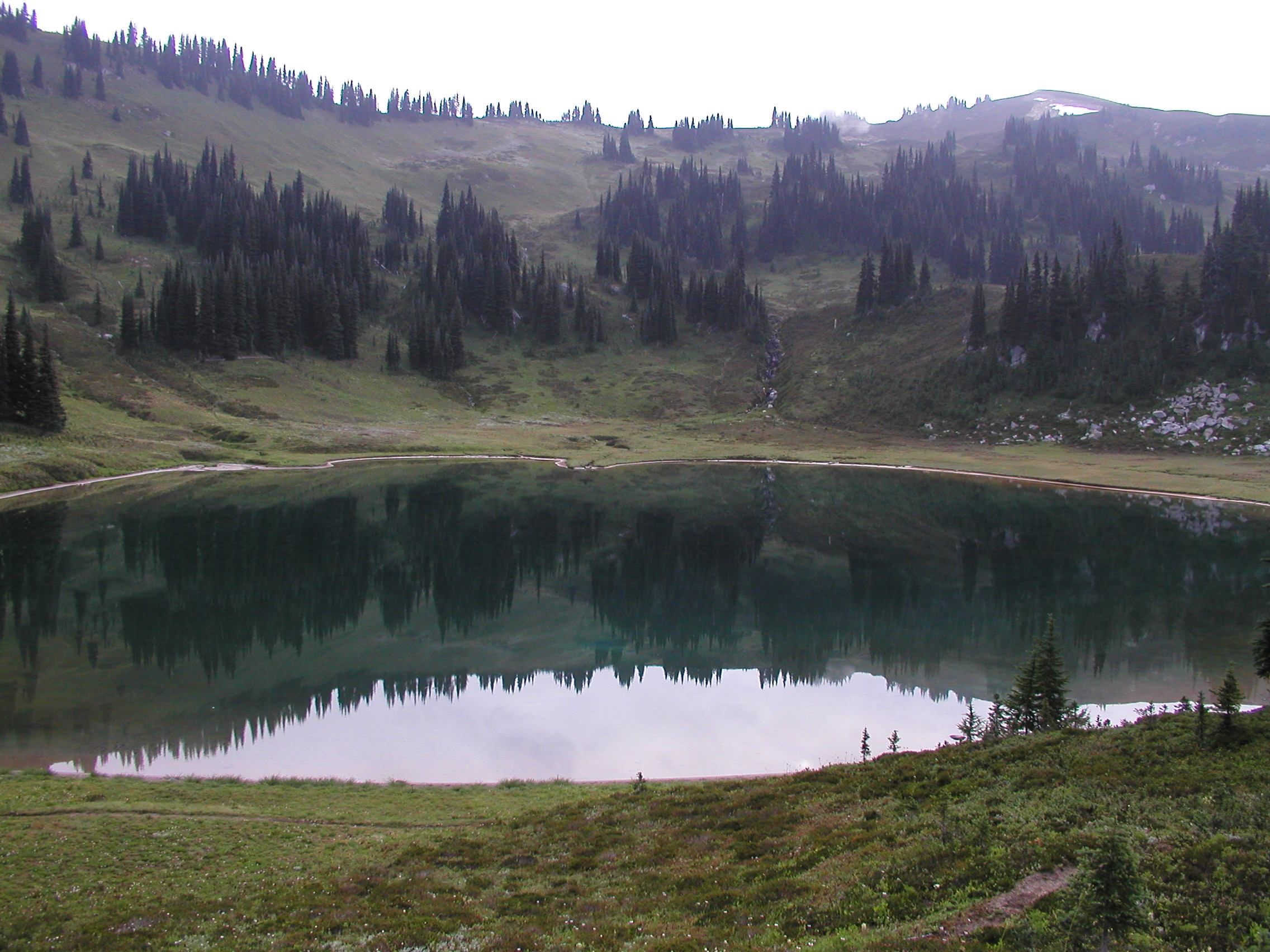
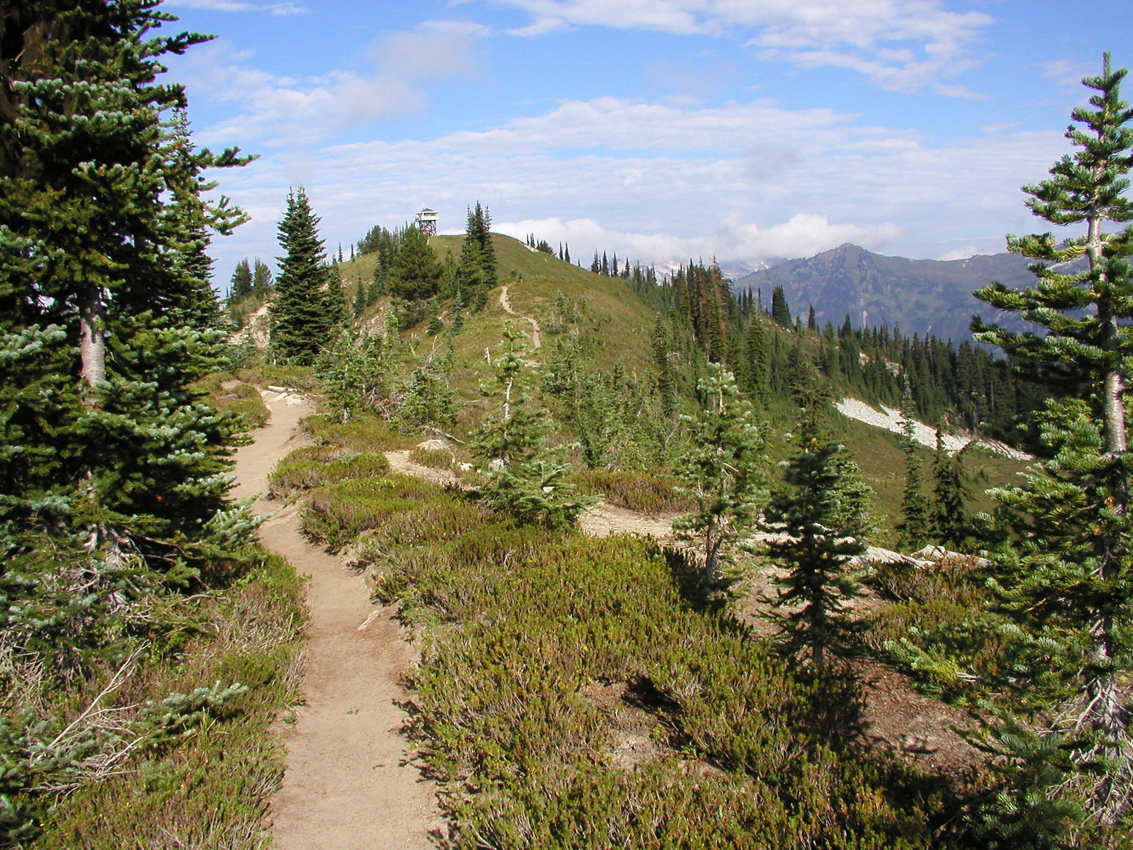
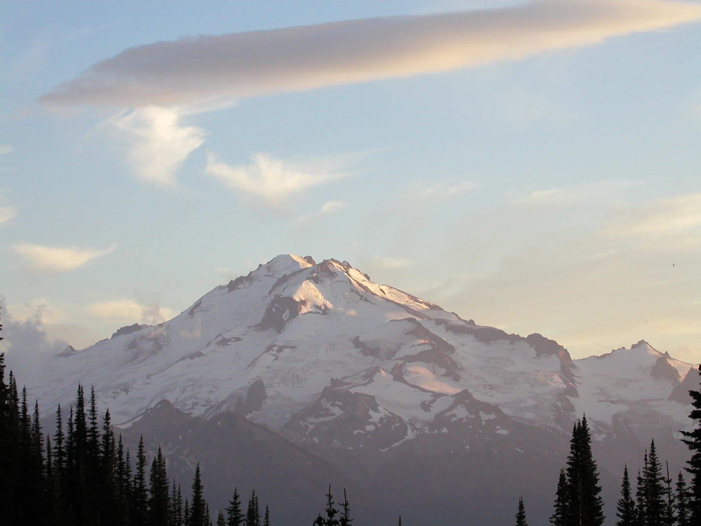
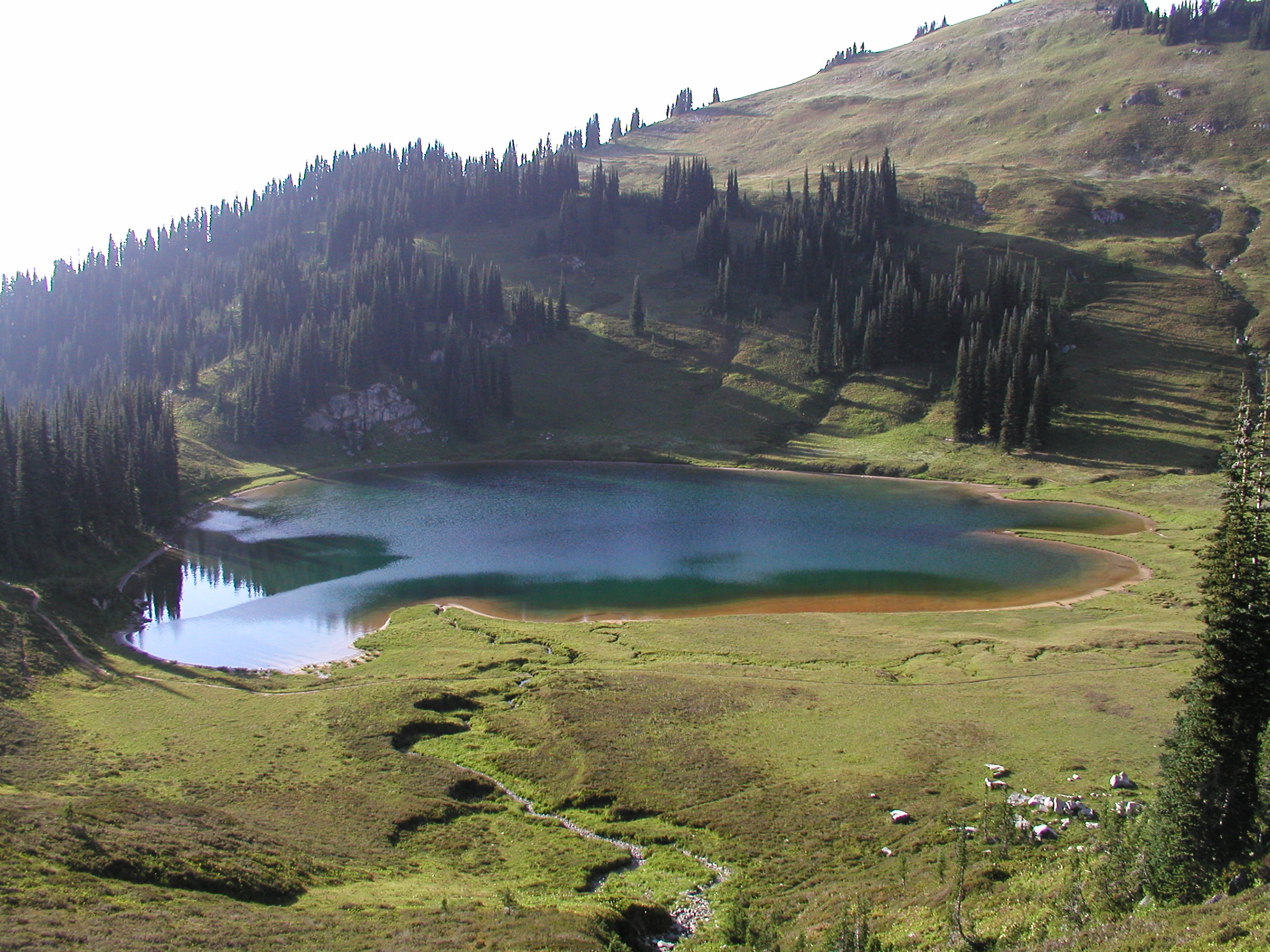
Take the Suiattle River Trail up to the junction with the Pacific Crest Trail, then continue for two and a half miles north to the junction. Turn left and climb a nice grade trail through the woods. Long switchbacks take you above the tree line and finally onto Miners Ridge. Follow the ridge, passing the lookout, to Image Lake. Campsites are well marked on the south side of the lake, but not in view of it. Overuse, and attempting to protect, has caused rules for not camping in the meadows around the lake. There are lots of sites to camp and trails to explore. This is a top spot in the area for sure!
- Get there: Take Highway 530 through Darrington and over the Sauk River on a grated bridge. Just after this bridge, take a right onto Suiattle River Road (11 miles to Highway 20). Starting as a mostly paved road, it soon turns to gravel. This trailhead has a very large parking lot with toilets at the road's end, nearly 24 miles.


